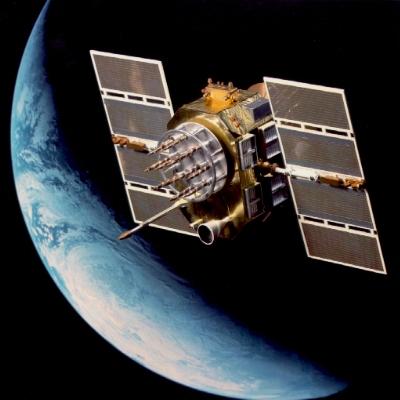
In an op-ed published in The New York Times on May 27th, LASP Director Dan Baker explored the value of Global Positioning System (GPS) sensors, which are commonly used for navigation. Developed by the military and implemented in 1973, GPS has been a significant advance in space technology. Sensors on each satellite, the Nuclear Detonation Detection System, continuously look for signs of nuclear explosions. However, GPS sensors also compile copious amounts of environmental data that, Baker writes, “in the hands of climate scientists, could add greatly to our understanding of global warming.”
GPS satellites observe visible light, radio waves, X-rays, and gamma rays, all of which can add to our understanding and prediction of solar and space weather events that can disrupt satellites and be hazardous to manned spaceflight. Understanding these events is important as the world’s reliance on electricity and space technology grows exponentially.
Although the navigational system was made public in 1980, the rest of this data is unavailable. Dr. Baker suggests that “making most of the detection system data available to the global public would show friends, allies and adversaries that the United States is willing to use even its most advanced defense assets for the betterment of humanity.”