QuikSCAT
Quick Scatterometer
Predicted major weather conditions over the oceans
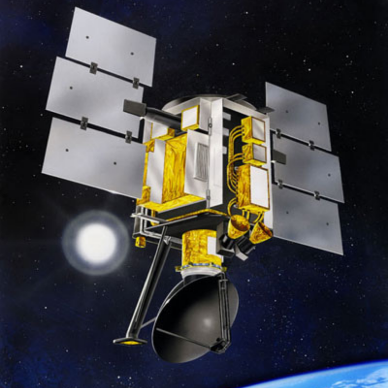
The QuikSCAT mission was an Earth-orbiting satellite to record sea-surface wind speed and direction data under all weather and cloud conditions over the oceans. The instrument, SeaWinds, was a scatterometer which provided unprecedented, frequent surface wind speed and direction measurements over the global oceans. Coupled with other satellite measurements of cloud patterns, water vapor and rain, the data contributed to scientists’ ability to predict the intensity, location and movements of hurricanes and other severe marine weather patterns.
Mission Class:
Mission Status:
LASP Roles:
Science Target:
Mission Focus:
Launch Date: June 19, 1999
Decommission Date: October 2, 2018
Mission duration: 19 years
Lead Institute: NASA
Partners: NASA Jet Propulsion Laboratory (JPL), National Oceanic & Atmospheric Administration (NOAA), NASA Goddard Space Flight Center (GSFC), Ball Aerospace and Technologies Corporation, U.S. Air Force Space and Missile Systems Center. Honeywell Satellite Systems Operations, Raytheon E-Systems Corporation, Lockheed Martin Astronautics, Hughes Electron Dynamics Division
The LASP mission operations team provided the commanding and downlink for the QuikSCAT mission.