ICESat
Ice, Cloud, and land Elevation Satellite
Tracked Earth's ice sheets
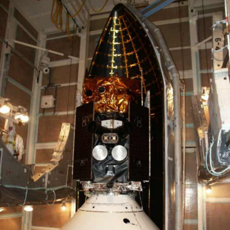
The Ice, Cloud, and land Elevation Satellite (ICESat) is the benchmark Earth Observing System mission for measuring ice sheet mass balance, cloud and aerosol heights, as well as land topography and vegetation characteristics. From 2003 to 2009, the ICESat mission provided multi-year elevation data needed to determine ice sheet mass balance as well as cloud property information, especially for stratospheric clouds common over polar areas. It also provided topography and vegetation data around the globe, in addition to the polar-specific coverage over the Greenland and Antarctic ice sheets.
Mission Class:
Mission Status:
LASP Roles:
Science Target:
Mission Focus:
Launch Date: January 13, 2003
Decomission Date: August 17, 2010
Lead Institution: NASA Goddard Space Flight Center
Partners: NASA’s Goddard Space Flight Center, University of Texas at Austin, National Snow and Ice Data Center
The LASP mission operation team provided commanding and downlink for the ICESat mission.
Flight operations activities included:
- Monitoring the health and safety and commanding of the observatory during realtime operations.
- Post-pass telemetry data acquisition: s-band data playbacks, GPS data
- Mission planning and scheduling
- Command generation
- Engineering data processing and analysis
- Orbit and attitude determination